Government By Property Owners Association
A legacy of 1970’s land speculation
The 30,000-acre addition to Great Sand Dunes, the newest national park, abuts a goofy 1970’s subdivision called Baca Grande in the upper San Luis Valley of southern Colorado.
The National Park Service, according to members of the Baca Grande Property Owners Association board, is about to announce it has chosen the “wilderness” option for management of the addition, formerly a ranch. This follows a year of confused and often contentious public meetings on the four Park Service options, and it is good news for most residents of the Baca Grande because it apparently will prohibit motor vehicles from entering adjacent park land.
The wilderness gate, or gates, however, will be at the south end of the subdivision. This means that hunters, backpackers, day hikers, and others will be driving through the Baca Grande on roads long ago turned over to Saguache County, which supports the northern park entrance.
Some residents in various meetings have urged the subdivision’s Property Owners Association to take back the roads and somehow block access to the national park. The community, including the nearby town of Crestone, is surrounded by federal lands – administered by the National Park Service, Fish and Wildlife Service and Forest Service. The cry has an appealing ring of community defiance of big government, but it’s a dead end.
The Property Owner’s Association is not much of a “government” to fight with. It’s little more than a non-profit corporation. Its board was not designed to be representative or particularly democratic, and its powers are not spelled out in the vague and often disregarded covenants attached to the thousands of small lots. Those who live on the subdivision, vastly outnumbered by the absentee owners, always found it too challenging and too expensive to incorporate as a municipality under state law.
This is the legacy of a type of land scheme the spread throughout the West in the 1970’s. One of the most prominent is the AMREP subdivision of Eldorado, southeast of Santa Fe, which is beginning to attract million-dollar homes, but has no real government. The lot owners soundly rejected municipal incorporation a few years ago in an election that was heavily influenced by a negative campaign supported by real estate agencies.
The Eldorado Community Improvement Association, like the Baca Grande Property Owners Association, is a non-government fighting government. The adversaries include the federal Bureau of Land Management, which has increasingly valuable holdings abutting Eldorado, the sprawl-insensitive Santa Fe County Commission, which has granted commercial zoning to land owners along the access highway, U.S. 285, and indeed the self-centered City of Santa Fe, which has bought a railroad easement through Eldorado and is always looking at extension of Richards Avenue to connect with Avenida Eldorado.
In Colorado, the federal agencies have exploited the lack of community government by taking a narrow view of their different jurisdictions. Fish and Wildlife has locked up its new lands on the west side of the park addition pending environmental assessment due for completion by, maybe, 2008. The Forest Service has yet to reveal plans for access to lands under its jurisdiction on east side.
Dunes Superintendent James Chaney, after numerous public meetings, sent a letter to the local monthly to correct what he saw as a misunderstanding among Baca Grande folks of his agency’s limited authority. Namely, all the Park Service could do was to decide how to manage the new land, and access was not its jurisdiction.
It is, therefore, no surprise that no one, despite all the public talk, has produced a reliable map showing the several jurisdictions, the roads and the access points. There is, however, an old ranch road, the Liberty road, which is well known to locals. It winds into the park addition along the forest boundary. As soon as the park was established last fall, a gate appeared where the road enters the subdivision, with signs barring all but foot traffic.
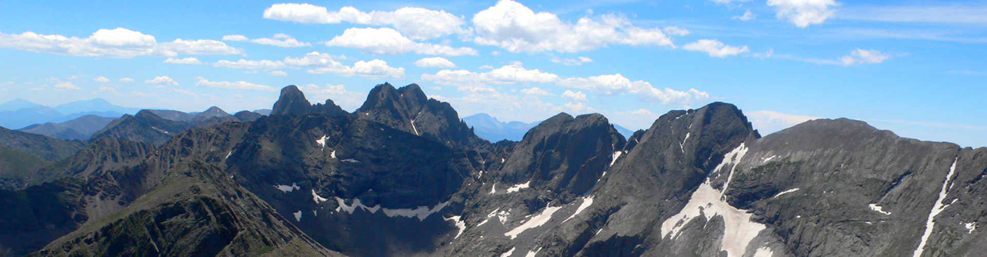
Local people already enjoy walks or runs along the first few sandy miles of the Liberty road. And farther on it opens up new territory for more adventurous treks all the way south to the dunes themselves or east up Sand Creek into the high country around some awesome 14,000-foot peaks, which are on Forest Service land.
The unmarked Cottonwood Creek trailhead is increasingly used by the “fourteener” peak baggers despite its difficulty. They park there, even though it’s private land. The Liberty road gate is just a quarter mile down hill, but there has been nothing to indicate that the Forest Service and Park Service are working together to build a joint parking lot. This, added to the sentiment in the community to just take back the roads and forget everything, is a cabal of ostriches.